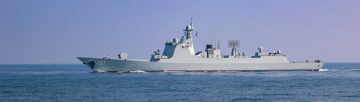
星载SAR在采集原始图像时,由于雷达波束与海面相互作用,会产生复杂的散射现象,这些散射现象在图像中表现为高频能量,降低图像的质量,难以有效执行海域测绘任务。为此,提出船舶安全航行海域高分辨率宽测绘技术。利用星载SAR技术构建宽测绘带成像模型,采用改进的小波变换方法,对星载SAR获取的宽测绘图像结果进行高分辨率重建,将高分辨重建宽测绘图像作为图卷积神经网络输入,实现地形地貌、航道分布、障碍物位置等信息的识别和提取,完成船舶安全航行海域高分辨率宽测绘。实验结果显示:该技术可显著提高测绘图像分辨率和细节表现。
When spaceborne SAR collects raw images, complex scattering phenomena are generated due to the interaction between the radar beam and the sea surface. These scattering phenomena are manifested as high-frequency energy in the image, which reduces the quality of the image and makes it difficult to effectively perform sea area mapping tasks. Therefore, high-resolution and wide mapping technology for safe navigation of ships in sea areas is proposed. Using spaceborne SAR technology to construct a wide swath imaging model, an improved wavelet transform method is adopted to perform high-resolution reconstruction on the wide swath images obtained by spaceborne SAR. The high-resolution reconstructed wide swath images are used as input for a graph convolutional neural network to recognize and extract information such as terrain, waterway distribution, obstacle location, etc., achieving high-resolution wide swath mapping of safe navigation areas for ships. The experimental results show that this technology can significantly improve the resolution and detail representation of surveying images.
2025,47(10): 150-154 收稿日期:2025-1-15
DOI:10.3404/j.issn.1672-7649.2025.10.025
分类号:TP391
作者简介:李宝旭(1994-),男,助理工程师,研究方向为海洋测绘
参考文献:
[1] 余锐, 张卉冉, 廖剑波. 基于颜色和影像指导的近岸海域三维点云分类和建模方法[J]. 测绘通报, 2024(11): 115-119.
YU R, ZHANG H R, LIAO J B. Classification and modeling of 3D point clouds in offshore waters based on color and image guidance[J]. Bulletin of Surveying and Mapping, 2024(11): 115-119.
[2] 张一衡, 于孝林, 亓超, 等. 基于海底回波增强的机载LiDAR测深水体旅行时提取算法[J]. 海洋学报, 2023, 45(12): 145-155.
ZHANG Y H, YU X L, QI C, et al. An algorithm for extracting airborne LiDAR bathymetric travel time in water column based on seabed echo enhancement[J]. Acta Oceanologica Sinica, 2023, 45(12): 145-155.
[3] 黄敏. 城市群高分辨率不透水面时空连续感知方法研究[J]. 测绘学报, 2023, 52(11): 2007.
HUANG M. Spatio-temporal continuous sensing method for high-resolution impervious surface mapping in the urban agglomeration[J]. Acta Geodaetica et Cartographica Sinica, 2023, 52(11): 2007.
[4] 宋昊天, 文汉江, 程鹏飞, 等. 基于多源测高数据建立平均海面高模型[J]. 大地测量与地球动力学, 2023, 43(5): 467-473.
SONG H T, WEN H J, CHENG P F, et al. Establishment of mean sea surface height model based on multi-source altimetry data[J]. Journal of Geodesy and Geodynamics, 2023, 43(5): 467-473.
[5] 谭小敏, 党红杏, 刘昕, 等. 基于反射面天线的高分辨率星载SAR技术研究[J]. 航天器工程, 2022, 31(2): 1-11.
TAN X M, DANG H X, LIU X, et al. Research of high-resolution spaceborne sar technology based on reflector antenna[J]. Spacecraft Engineering, 2022, 31(2): 1-11.
[6] 张剑, 刘鑫. 基于单层小波变换的视觉传感图像超分辨率重建[J]. 传感技术学报, 2022, 35(1): 122-126.
ZHANG J, LIU X. Super resolution reconstruction of vision sensing image based on single layer wavelet transform[J]. Chinese Journal of Sensors and Actuators, 2022, 35(1): 122-126.
[7] 季金亮, 马庆勋, 李紫微. 基于变换域的遥感测绘图像条带噪声滤波方法[J]. 计算机仿真, 2023, 40(3): 206-209+301.
JI J L, MA Q X, LI Z W. Strip noise filtering method of remote sensing mapping image based on transform domain[J]. Computer Simulation, 2023, 40(3): 206-209+301.
[8] 吕欢欢, 彭国峰, 张辉. 深度可分离残差网络的高分遥感影像场景分类[J]. 测绘科学, 2023, 48(4): 129-139.
LYU H H, PENG G F, ZHANG H. Depthwise separable residual network for high-resolution remote sensing image scene classification[J]. Science of Surveying and Mapping, 2023, 48(4): 129-139.